 Dayhike on Mt. Humphreys, 1998
Click on any image to enlarge.
 Mt. Humphreys at 12,633' elevation, is the high point in Arizona. Located in the San Francisco Peaks, just outside
of Flagstaff, Humphreys and neighboring Agassiz offer the only true alpine environment in the state. Climbing to the summit of Humphreys is strenuous work that
involves more than 3100' of elevation gain through high altitude thin air.
Mt. Humphreys at 12,633' elevation, is the high point in Arizona. Located in the San Francisco Peaks, just outside
of Flagstaff, Humphreys and neighboring Agassiz offer the only true alpine environment in the state. Climbing to the summit of Humphreys is strenuous work that
involves more than 3100' of elevation gain through high altitude thin air.
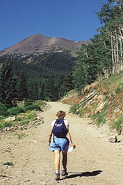
The majority of hikers ascend the mountain via the 4.25 mile (each way), heavily used Humphreys Peak Trail that begins at the SnowBowl ski resort on the West side of the
Peaks. Cindy and I chose to tackle the summit following a much less used route, with the hopes of avoiding the crowds. Although our route was longer
(7.5 miles each way) with more elevation gain (4100'), it was a very pleasant change from the crowded Humphreys Peak trail.
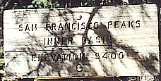
The route we chose begins at Lockett Meadow on the East side of the Peaks. From there, the trail climbs steadily into and through the Inner Basin, to an intersection
with the Weatherford Trail, which comes up from Schultz Pass on the mountain's Southeast side. The little-used Weatherford Trail continues East and intersects the
popular Humphreys Peak trail at "the saddle", between Humphreys and Agassiz peaks.
The Weatherford Trail is actually an old road, now turned into trail. Built in the early 1900's using only manpower and teams of horses, it travels from Schultz Pass Road to the saddle between Agassiz and Humphreys. This trail offers fine views of the Inner Basin as it passes through several gardens of Christmas-tree-like pines. Although we kept an eye out for bears, we didn't see any.
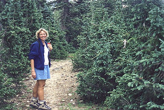 A garden of Christmas trees |
 View into the Inner Basin |
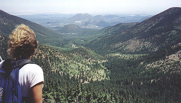
Above treeline, the views are wide and spacious as the Weatherford Trail ascends into the protected alpine region just beyond Fremont Saddle. The trail switchbacks up the Southern slope of Agassiz as it finally bends to the North and heads for the summit of Humphreys. The summit ridgeline, which now looms ahead, is the toughest part of the hike due to the higher altitude, our tiredness, and the increased steepness of the trail.
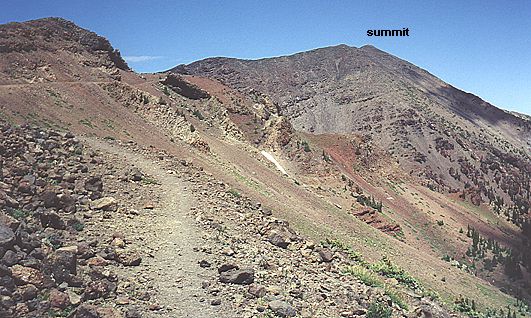 Looking North toward the summit |
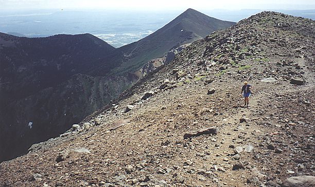 Along the summit ridge |
Humphreys Peak at 12,633' above sea level, is the highest point in Arizona. After hiking uphill for several strenuous hours, hikers are rewarded with a spectacular view that makes the entire effort worthwhile. The views are unimpeded in nearly every direction (nearby Agassiz prevents good viewing of Flagstaff). Notable landmarks include the Grand Canyon, 75 miles away, and Navajo Mountain in Southern Utah. Although Cindy and I had each been on Humphreys before, this was our first trip to the summit together.
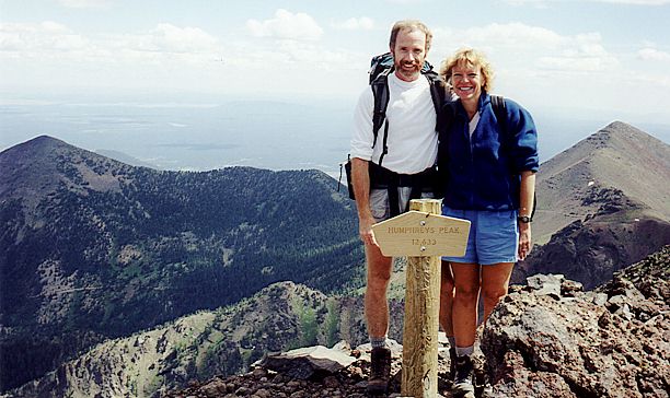 Humphreys Peak, 12,633' |
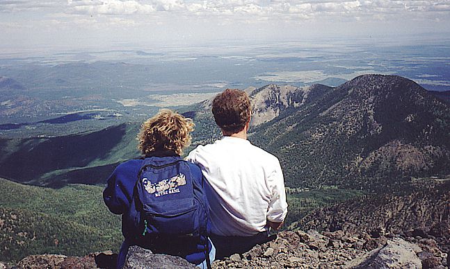 The view from the summit (looking East) |